There is a map that never leaves me alone.
It was drawn in 1904 by a British geographer named Halford Mackinder, and it divides the world not by nations or empires but by something far more stubborn, that is, terrain. At its centre sits what he called the Heartland: a vast, landlocked mass stretching across Eurasia, unreachable by naval power, insulated from the sea lanes that had long defined British supremacy. Whoever controlled this pivot, Mackinder argued, would eventually control the world. The theory was presented to the Royal Geographical Society, briefly debated, and then largely set aside as quaint. Too deterministic, they said. Too rigid. The twentieth century, with its aircraft carriers, satellite networks, and nuclear deterrents, would surely render geography irrelevant.
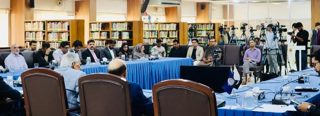
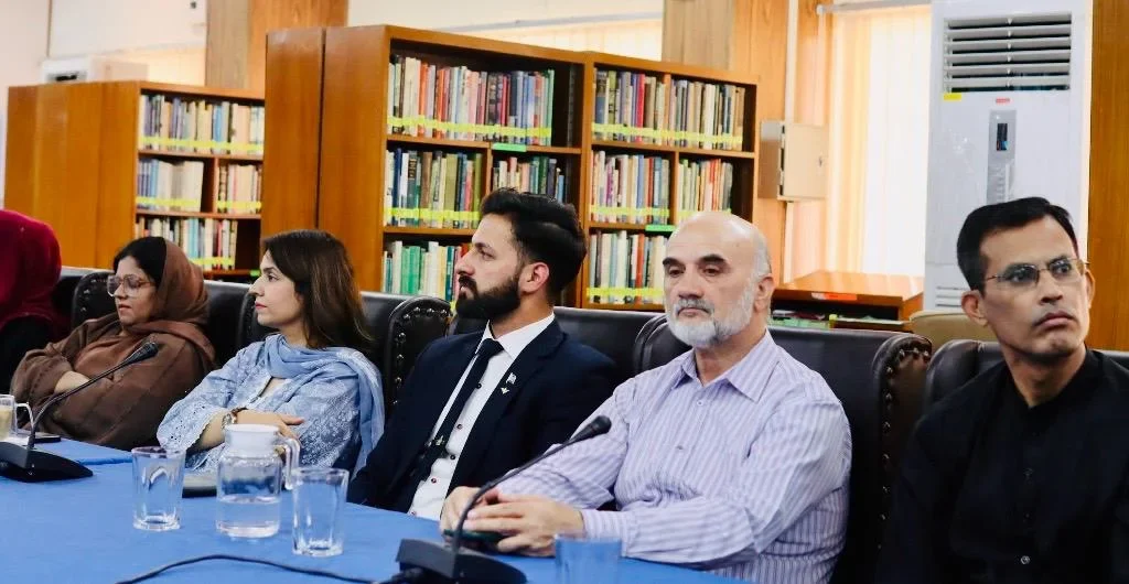
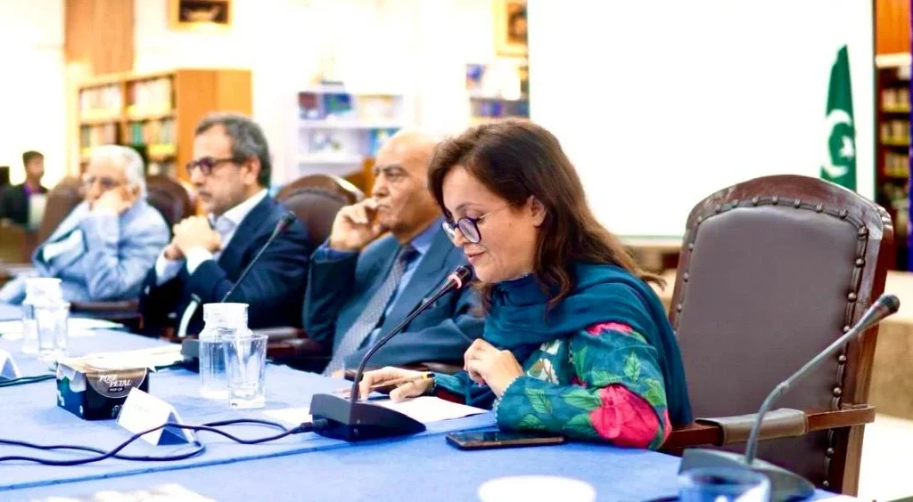
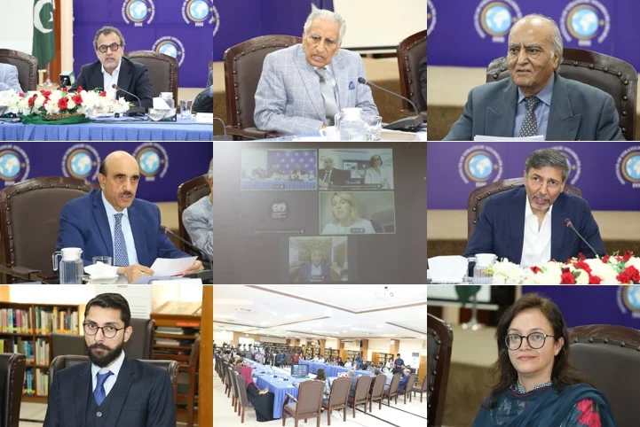
Then I watched the proceedings of a high-level webinar held in Islamabad on June 9, 2026, organised by the Institute of Strategic Studies Islamabad (ISSI) in collaboration with the University of World Civilisations, in which Pakistani and Russian officials, diplomats, and scholars spent several hours discussing corridors, ports, energy pipelines, and warm water access. And Mackinder’s map, uninvited, returned.
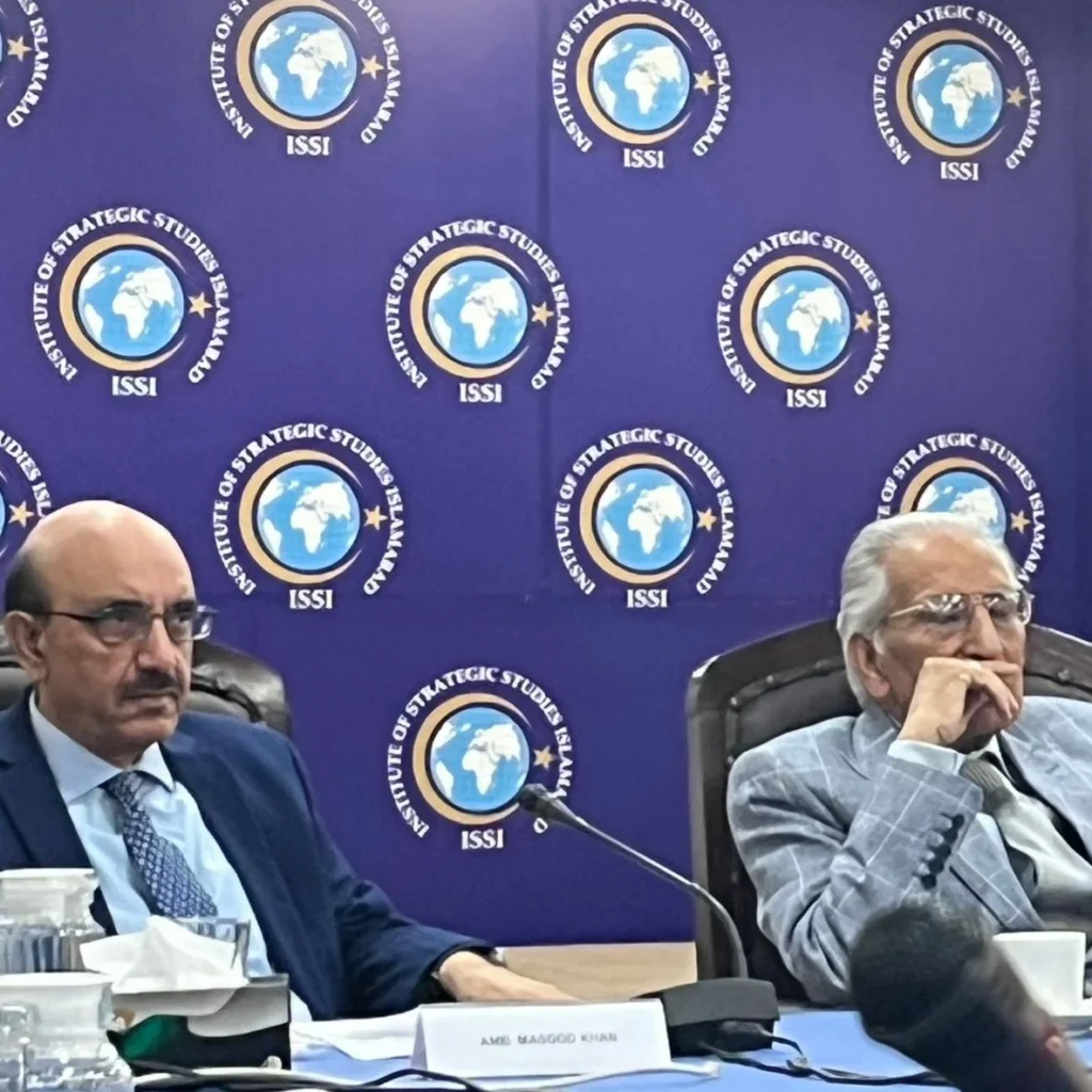
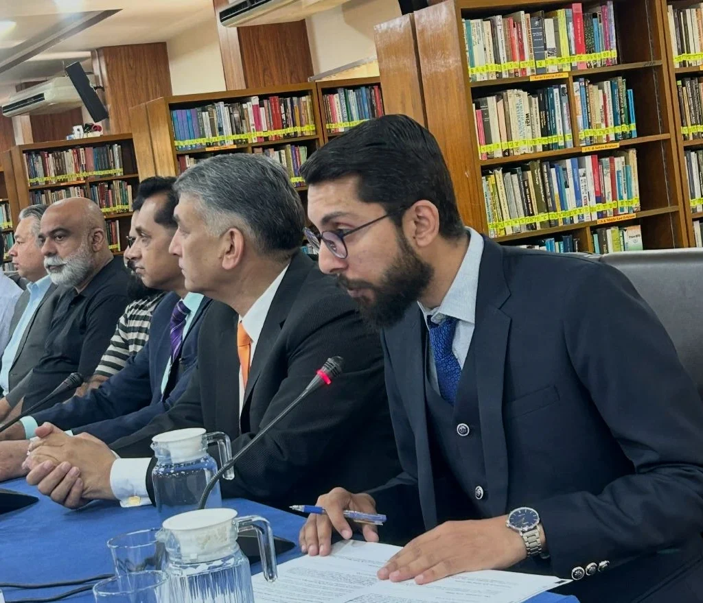

Nobody at the ISSI webinar mentioned Mackinder by name. They did not need to. The logic was already embedded in their vocabulary. Ambassador Masood Khan described Pakistan as offering Russia “access to the Arabian Sea, maritime connectivity routes, and West Asia.” Energy Minister Sardar Awais Leghari spoke about the International North-South Transport Corridor (INSTC) and its potential linkage to Gwadar Port. Former diplomat Dr Tariq Fatemi described the present moment as one of structural global transformation, a reordering of the international system creating opportunities that careful states might finally exploit.
The room, in other words, was doing geopolitics the way geopolitics has always actually been done. By thinking about physical space, about who controls what routes, who reaches which seas, and how the ancient problem of landlocked power might finally be solved.
Geography, it turns out, is extraordinarily patient.
The Theory That Would Not Die
Mackinder’s Heartland thesis, refined and published in full in his 1919 work Democratic Ideals and Reality, rested on a deceptively simple observation. History’s great land powers had always been constrained by the maritime empires ringing Eurasia’s coastlines. Control the Heartland’s resources, eliminate that vulnerability, and the balance tips permanently inland. His warning was addressed to Britain, but the architecture of the argument outlasted the British Empire by generations.
It was Nicholas Spykman, a Dutch-American strategist at Yale, who offered the decisive counter-theory in 1942. The Heartland is not the key, Spykman argued. The Rimland is.
The coastal crescent of Eurasia, stretching from Western Europe through the Middle East, South Asia, Southeast Asia, and Northeast Asia, was where civilisational wealth actually concentrated, where trade occurred, and where populations clustered. Whoever controlled the Rimland could contain any Heartland power before it reached the sea. Spykman’s formulation, barely disguised, became the strategic grammar of American Cold War policy. NATO in Europe, alliances across the Persian Gulf, bases in Japan and South Korea, and the Seventh Fleet in the Pacific.
The theorists disagreed on emphasis, but they agreed on something more fundamental that geography shapes strategy, not the other way around.
For decades after the Cold War, this consensus was dismantled with surprising enthusiasm. Globalisation made borders porous. The internet suggested that power was moving into cyberspace, beyond the reach of physical terrain. Financial markets moved at microsecond speeds across continents. A generation of scholars declared that geopolitics was dead, replaced by geoeconomics, by interdependence, by the liberal international order. Francis Fukuyama’s End of History is the famous example, but the delusion ran much deeper than a single essay. It ran through think tanks, foreign ministries, and business schools that quietly stopped teaching strategic geography altogether.
Then Russia invaded Ukraine, and the maps came back.
The Return of the Heartland Contest
Watch the Ukraine war with a geographer’s eye and the pattern becomes almost uncomfortably clear. What is Russia doing, if not attempting exactly what Mackinder feared would happen, consolidating control over the western approaches to the Eurasian Heartland? Ukraine is not merely a cultural dispute or a NATO anxiety. Ukraine is steppe, river valleys, agricultural surplus, and Black Sea access. It is the western buffer of the old imperial core, the terrain across which every major Eurasian land conflict has moved for centuries. Russia’s strategic culture has never forgotten this. It has merely been waiting.
NATO’s eastward expansion, every round of enlargement from 1999 onward, is equally comprehensible as a Rimland strategy. The alliance was, from the beginning, a maritime-anchored coalition designed to hold the Eurasian coastline against continental consolidation. Each eastern enlargement pushed the contested frontier deep into the pivot space that Mackinder identified. Both sides, consciously or not, have been playing out a theoretical argument that was considered obsolete for thirty years.
China presents the second and more consequential half of the equation. Beijing’s Belt and Road Initiative (BRI), however much it is framed in the language of win-win development, traces a route that would have made Spykman uneasy. It reaches overland through Central Asia, through Pakistan, through Southeast Asia; it reaches maritimely through the Indian Ocean and beyond. China is simultaneously a Heartland power and a Rimland aspirant. It is building the roads and ports that would allow it to access the sea without depending on sea lanes it cannot yet fully defend. Mackinder warned against a Heartland power acquiring a coastline. The BRI is, among other things, an attempt to manufacture one.
The United States has responded with language that is Spykman translated into contemporary bureaucratic English. The Indo-Pacific strategy, AUKUS, the Quad, the sustained effort to deny any single power dominance over the island chains and maritime chokepoints of Asia’s eastern and southern periphery. The South China Sea is not a trade dispute. The Taiwan question is not a sovereignty question. They are arguments about who controls the Rimland, and therefore, by extension, who can contain the Heartland.
The theorists are arguing with each other through the actions of states that have mostly never read them.
Pakistan: The Intersection
Some states sit at the crossroads of competing theories. Pakistan is one of them, and its current strategic positioning, quietly but unmistakably, reflects that reality.
The ISSI webinar made the geometry visible. Ambassador Khan put it plainly that the Belt and Road Initiative (BRI) could evolve into a broader Eurasian connectivity framework. The Pakistan-Xinjiang corridor could be extended into wider networks through Russia, creating, in his words, “a broader Eurasian strategic space.” If Pakistan, Russia, and the Central Asian states can develop a coordinated framework, a new strategic space could emerge across Eurasia.
Consider what this actually means in physical terms. Gwadar, Pakistan’s deep-sea port on the Arabian Sea, was conceived as the southern terminus of CPEC, China’s most significant corridor project, connecting Xinjiang to warm water access that Beijing’s own geography denies it. From a Mackinder-Spykman perspective, Gwadar is extraordinary. It is a potential Heartland exit point. A port where the landlocked interior of Eurasia can, for the first time, breathe into the Indian Ocean. China grasped this logic immediately. So did India, which has watched CPEC’s development with strategic alarm, and the United States, which has raised concerns about the nature of Chinese port financing across the Indo-Pacific.
Russia’s interest in the same corridor, specifically, the INSTC and its potential connection with Gwadar, adds another layer. A Russia squeezed by Western sanctions and searching for southern economic arteries has obvious reasons to want access to the Arabian Sea through a Pakistan-anchored route. Energy Minister Leghari’s welcoming of INSTC discussions at the June 9 webinar was noted without fanfare, but the strategic freight it carries is considerable.
Pakistan’s geographic position, at the junction of South Asia, Central Asia, West Asia, and the sea lanes of the northern Indian Ocean, makes it theoretically relevant to almost every major connectivity project on the continent. It sits where Spykman’s Rimland meets Mackinder’s southern edge. Central Asian landlocked states, Kazakhstan, Uzbekistan, Tajikistan, cannot reach the sea without passing through either Iran, Russia, or Afghanistan and then Pakistan. Afghanistan itself, as Ambassador Khan noted, remains central to Central Asian access to warm waters. Geography has not changed. The routes remain where they always were.
Dr Tariq Fatemi’s observation that historical disagreements should not impede present-day cooperation, his gentle allusion to the Cold War tensions that once made Pakistan a frontline state against Soviet expansion, reflected a maturity that geopolitical analysis sometimes lacks. Pakistan was, for decades, instrumentalised as a Rimland buffer. The question now, in a multipolar order, is whether it can become something more structurally consequential. A connectivity nexus that no single power controls, but through which multiple powers must negotiate.
This is not an inevitable outcome. CPEC’s actual progress has been slower and more contested than its initial announcements implied. Gwadar’s development has faced delays, local political complications, and genuine concerns about the terms of Chinese investment. The INSTC remains partially realised. Pakistan’s economic vulnerabilities and internal security challenges, the counterterrorism convergence with Russia and Central Asia which multiple speakers at the webinar identified as a genuine shared interest, complicate any clean strategic narrative. But the geographic logic persists regardless of whether the infrastructure catches up.
The Case for the Prosecution
Before going further, it is worth pausing to take the critics seriously. Because they have a point.
If the Heartland is so decisive, why did the power that controlled it most completely, the Soviet Union, lose the Cold War without firing a single shot at the Rimland it theoretically threatened? Moscow held the pivot space for seven decades. It commanded the largest contiguous land empire in human history, bristling with nuclear weapons and vast natural resources. It still collapsed, not from external conquest but from internal exhaustion, ideological rigidity, and an economy that could not sustain the competition. Geography did not save it.
The Ottoman Empire is an even more instructive case. For centuries, Istanbul sat at perhaps the most strategically enviable position on earth. Astride the straits between the Black Sea and the Mediterranean, at the junction of three continents, controlling overland routes between Europe and Asia. If geography were the primary determinant of power, the Ottomans should have been structurally unassailable. Instead, they became the Sick Man of Europe, dismembered across a century of decline that culminated in the First World War, undone by institutional sclerosis, technological lag, and the failure to adapt. The terrain remained extraordinary. The empire that sat upon it did not.
Spykman’s framework fares no better under historical scrutiny. France sits at the western anchor of the Rimland. It fell in six weeks in 1940, overrun by a continental power that the Rimland theory suggested it should have been able to contain. Vietnam and Afghanistan were Rimland or Rimland-adjacent theatres where the United States, the ultimate guarantor of Rimland access, was eventually ground down and forced to withdraw. The geographic logic that was supposed to favour the defenders of the coastal crescent manifestly did not determine the outcome.
These are not marginal counterexamples. They are central to the historical record. And any honest engagement with Mackinder and Spykman has to reckon with them before arguing that the theories remain useful.
So here is the reckoning. The theories fail catastrophically when read as deterministic prophecy, as claims that geography automatically produces specific outcomes regardless of what states do with their advantages. Mackinder never quite made that claim, though his rhetoric sometimes implied it. Spykman was more careful. But both have been read, by admirers and critics alike, as if geography were destiny rather than constraint.
Read more carefully, the theories offer something different and considerably more durable. A map of structural pressures. They identify why certain strategic problems recur, why Russia has always sought warm water access, why maritime powers have always tried to deny continental consolidation, and why the coastlines of Eurasia have always been worth fighting over without determining which side prevails in any specific contest. The Soviet Union’s geographic advantages were real. They simply could not compensate for the compounding failures of everything else. The Ottoman position was genuinely formidable. Geography could not substitute for administrative capacity, military modernisation, and institutional coherence that the empire no longer possessed.
This distinction matters enormously for how we read the present. China’s BRI does not automatically succeed because Mackinder’s logic endorses it. Russia’s warm-water ambitions do not automatically fail because the Soviet Union did. Pakistan’s geographic position does not automatically translate into strategic centrality. What the theories illuminate is the incentive structure. Why do these powers pursue what they pursue? Why these corridors matter to multiple actors simultaneously? Why do the same geographic problems keep reappearing across centuries of different contestants?
Geography does not pick winners. It sets the terms of competition. And it sets them with a patience that no individual empire, ideology, or strategy can outlast.
The Fusion Problem
Here is where I want to push back against both Mackinder and Spykman, and perhaps against the binary that structures most discussions of their legacy.
The twenty-first century does not look like a clean Heartland-versus-Rimland contest. It looks like a fusion. China is simultaneously a Heartland power building continental connectivity and a maritime power modernising the People’s Liberation Army Navy and contesting the South China Sea. Russia holds the northern Heartland but depends critically on energy revenues that flow through pipelines and tankers, maritime commerce by another name. The United States, the archetypal Rimland power, has deep continental interests across Eurasia and has spent the post-Cold War decades mired in precisely the landlocked interiors, Afghanistan, Iraq, that Spykman’s model suggests it should have avoided.
Technology has not abolished geography. But it has complicated the older hierarchies. Space-based surveillance means that continental armies are now visible to maritime powers in ways they were not in 1904 or 1942. Cyber operations allow Heartland powers to project force into Rimland societies without crossing a border. Hypersonic missiles are compressing the strategic distance between land-based and sea-based power. The chokepoints still matter. Hormuz, Malacca, the Bosphorus, and the Danish Straits. But they are now layered with electromagnetic and informational dimensions that neither theorist anticipated.
What is actually emerging may be better understood as a competition for corridors. Physical and informational arteries that connect interior power to exterior reach. The BRI is a corridor project. The INSTC is a corridor project. NATO’s eastern expansion is, in part, a corridor denial project, ensuring that Russia cannot consolidate the western approaches to its Heartland. The American Indo-Pacific strategy is oriented around maintaining freedom of navigation through the maritime corridors of Asia. Pakistan’s strategic relevance lies precisely in its position across multiple corridors simultaneously.
Ambassador Khan’s phrase “Eurasian strategic space” is worth sitting with. It does not fit cleanly into either Mackinder’s Heartland or Spykman’s Rimland. It describes something new. A contested but potentially integrated interior-to-ocean connectivity network that, if realised, would blur the analytical boundary between the two theories entirely.
The multipolarity that multiple ISSI speakers identified as the structural reality of the emerging order is not simply the return of great power competition. It is the arrival of a world in which several major powers are simultaneously trying to be both Heartland and Rimland players, projecting both continental depth and maritime reach, and using middle powers like Pakistan as the terrain on which that ambition either succeeds or gets frustrated.
The Patient Actor
There is a habit in strategic studies of treating geography as background. The static stage on which the dynamic drama of politics unfolds. Mackinder and Spykman, whatever their differences, understood this was precisely backwards. Geography is not the stage. It is one of the players. The slowest, most patient, most durable player in the game.
Empires have dissolved since Mackinder drew his map. The British Empire that his theory was meant to save is gone. The Soviet Union which gave his ideas renewed relevance during the Cold War is gone. The unipolar American moment that seemed to render them obsolete is fading. The ideological contests, liberalism against fascism, capitalism against communism, multilateralism against great-power spherism, have cycled through their seasons. Technologies have transformed the mechanics of power in ways that no nineteenth-century geographer could have imagined.
But the Karakoram Highway still runs where the terrain allows it to run. The Arabian Sea still sits where the tectonic plates positioned it. The distance between Central Asia’s interior and its nearest ocean access has not changed by a single kilometre since Mackinder first measured it.
The webinar in Islamabad on June 9, 2026, was, on its surface, a bilateral diplomatic exercise, two countries with historically complicated relations exploring the architecture of a closer partnership. But under the surface, it was something older and more persistent. A negotiation over geography. Over who controls which route, who accesses which sea, whose corridor runs through whose sovereign space.
Mackinder would have recognised the conversation. Spykman would have taken notes.
The theories did not disappear. They simply waited with the particular patience that only geography can afford for the world to catch up with them again.